Getting Here
How to Find us by Road
Decimal coordinates from the harbour office: 54.100160, 13.389758
By Airplane
The nearest airports are:
- Hamburg HAM (Flughafenstraße 1-3, 22335 Hamburg)
- Berlin Tegel TXL (Zufahrt zum Flughafen Tegel, 13405 Berlin)
- Berlin Schönefeld SXF (Flughafen Schönefeld, 12521 Berlin)
- Rostock RLG (Flughafenstraße 1, 18299 Laage)
By Train
You find the nearest train station at Greifswald. The adress for your navigation system is: Bahnhofsplatz, 17489 Greifswald.
From here ICE, IC and regional trains are driving in direct line to berlin and with little interchanges also to Hamburg.
By Car
Coming from West
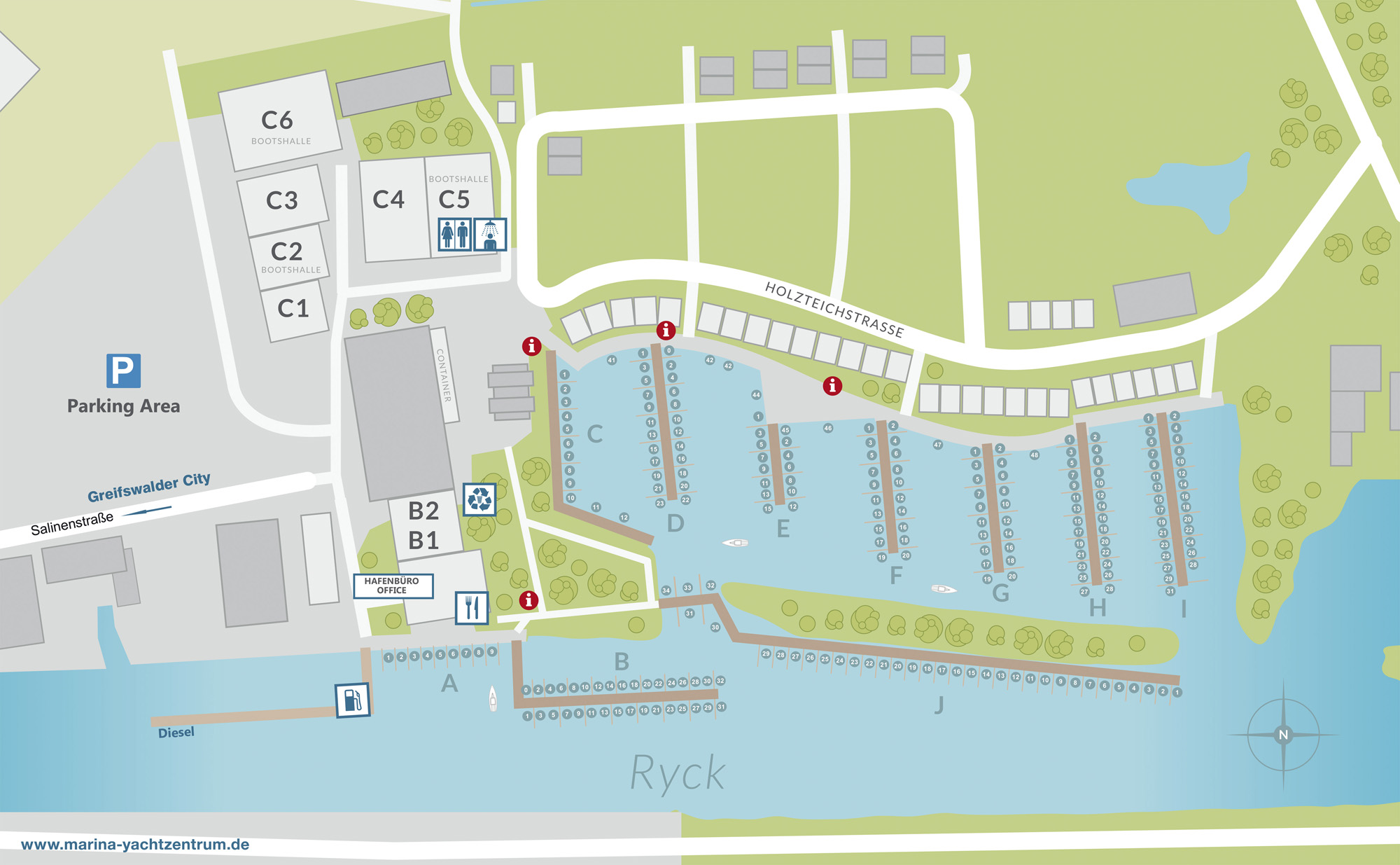
If you come from west, follow the highway A20 in the direction of Greifswald and take the exit 25 AS Greifswald. Follow the L26 for 15 kilometers in the direction of Greifswald. Leave the L26 500 metres before passing the townsign for Greifswald and follow B96/E251 in the direction of Stralsund till the exit Zentrum / Ladebow Hafen. Continue on this road till the crossing with traffic signs and gasstation (ESSO) and turn off left. After 400 metres turn off right into Salinenstraße and follow this road till the end.
Coming from South
If you come from south, follow the highway A11 from Berlin in the direction of Prenzlau. Leave the A11 at exit AS 5 AK Kreuz Uckermark to A20 in the direction of Lübeck/ Stralsund/ Prenzlau. Follow the A20 in the direction of Greifswald and take the exit at AS 27 in the direction of Gützkow. Turn off left to L35 / Gützkower Landstraße and continue driving on this road. Take the exit to B109 in the direction of Stralsund. Change to B105 and take the exit Greifswald / Zentrum / Fähre Ladebow on road Chausseestraße / Stralsunder Landstraße. Continue on this road till the crossing with traffic signs and gasstation (ESSO) and turn off left. After 400 metres turn off right into Salinenstraße and follow this road till the end.
Boom Barrier
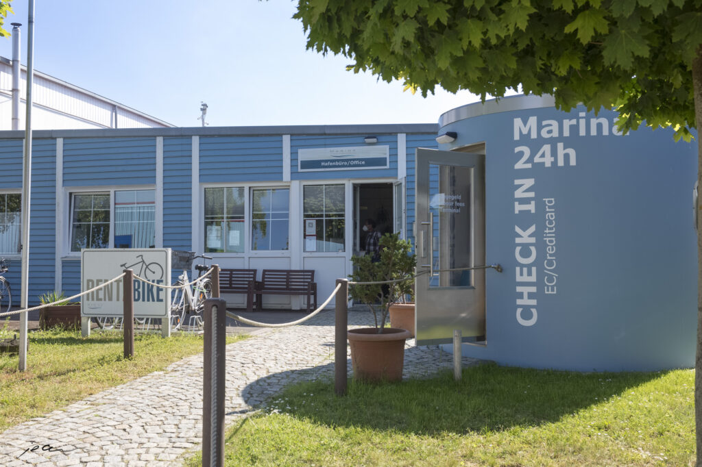
Access through the boom barrier with the transponders or mooring cards. In addition, there are visitors’ car parking places (access via area “Holzteich”).
How to Find us by Sea
Sexagesimal coordinates from our harbour: 54°06’01.4″N; 13°23’29.9″E
Over the baltic sea and Greifswald´s shallow bay, you come to Danish Wiek, a bay in the south of Greifswald´s shallow bay and at the mouth of river Ryck. There you find the old fishing village Wieck and a wooden bascule bridge (54° 05‘ 36.4″N; 013° 26‘55.17‘‘E) which you have to pass by. The opening times of the bridge you can find here (WSA) or here (city of Greifswald).
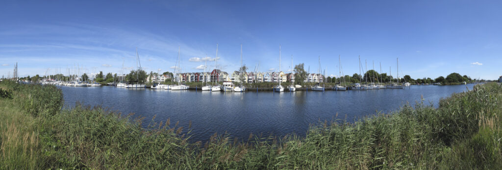
Continue along the river Ryck for 2,2 sm to west to come to our marina centre.
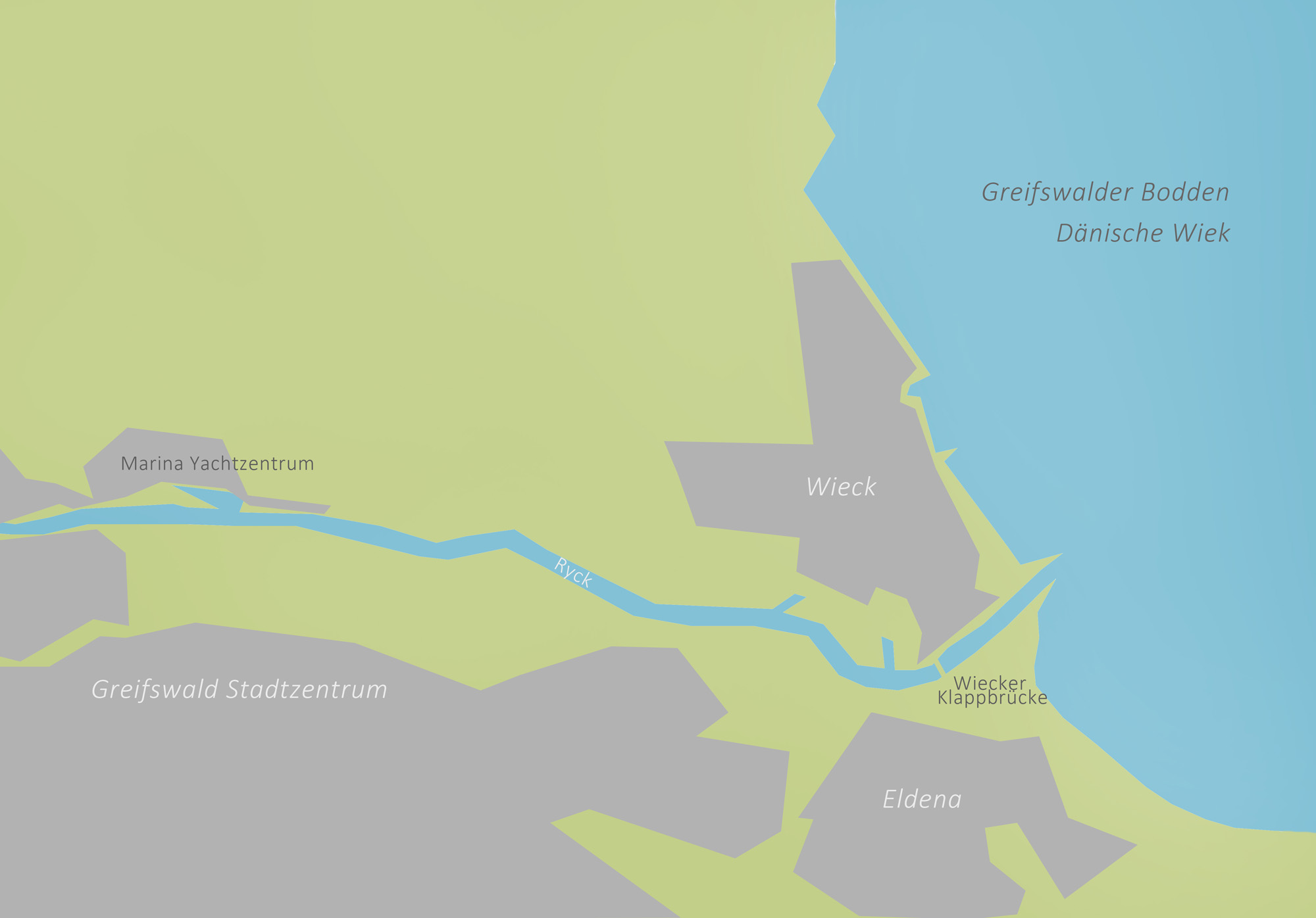


Position at Marina Area
